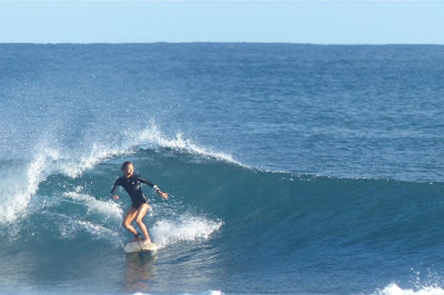
Waiehu side yesterday.
North shore
NW101
- 14.5ft, 12s, NW 310º
- 5.5ft, 8s, NNW 345º
- 3.1ft, 6s, N 355º
Hanalei
- 7.8ft, 13s, NW 320º
- 8.2ft, 10s, NNW 340º
- 4.1ft, 7s, N 10º
Waimea
- 7.8ft, 14s, NW 315º
- 8.4ft, 11s, NW 315º
- 5.3ft, 7s, NNW 345º
Pauwela
- 2.9ft, 15s, NW 310º
- 2.3ft, 11s, NNW 335º
- 2.1ft, 7s, ENE 65º
Closely generated NW swell picked up solid at the upstream buoys and will rise all day locally.
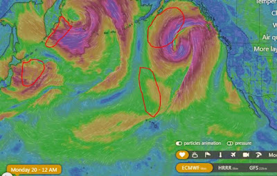
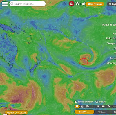
Below are the maps of November 18 through 20 that show the fetch that generated it. The simultaneous arrival of all kinds of periods is due to the proximity of the storm and will give the waves a very irregular breaking pattern. The sideon wind will contribute to with plenty chop to the stormy conditions. Home guess for Hookipa is around head high and relatively clean in the early morning, rapidly rising to double overhead plus and stormy during the day. Seek for sheltered places when that happens.

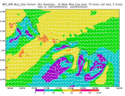
Wind map at noon. The other ones can be found here.
Fetches map (circles legend: red: direct aim, blue: angular spreading, black: blocked, yellow: possibly over the ice sheet) from Windy.
North Pacific (about 4 days travel time from the NW corner of the North Pacific):
South Pacific (about 7 days travel time from east/west of New Zealand):
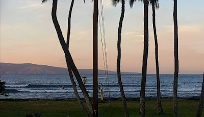
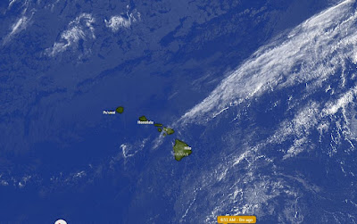
Morning sky


No comments:
Post a Comment