Maui north shore (indicative of what's in the water on Maui's north shore)
7.7ft @ 13s from 328° (NW)
2.9ft @ 7s from 29° (NNE)
4.0ft @ 10s from 358° (N)
West lanai Maui north shore (indicative of what's in the water on Maui's south shore)
3.2ft @ 13s from 290° (WNW)
2.2ft @ 10s from 222° (SW)
0.2ft @ 4s from 179° (S)
Well 7.7f 13s would be a hell of a swell in other times, but after the run of big surf we had feels like a leftover. Instead it would be still very enjoyable if the fetch of trade winds we had for the last couple of days didn't add those two secondary 10s and 7s swells you can read on the maui buoy above.
Mixed swells are better than no swells, so let's not bitch about it, also because things are going to get much worse... you guessed it, the trades are coming back.
But not quite just yet.
The wind map below shows:
Mixed swells are better than no swells, so let's not bitch about it, also because things are going to get much worse... you guessed it, the trades are coming back.
But not quite just yet.
The wind map below shows:
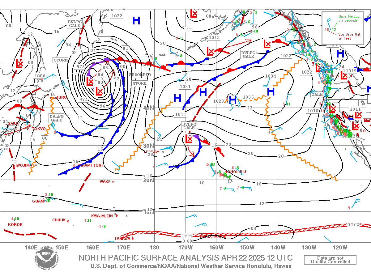
1) a new fetch of a new storm that will provide us with a new swell sometimes next week
2) the fetch that originated the swell that's gonna hit tomorrow. Remember, that one started very west (so Maui will get shadowed), but then it moved across the ocean and now is making waves that will get to us without any obstacles
3) the fetch of the current trade winds episode. You can see
that we are right at the end of the fetch and because of that I don't think that today it will be strong enough for windsurfing. Maybe kitesurfing.

The thing I like about today's wind is that is supposed to start very easterly. That means that Hookipa might get some early morning wind, but down the coast could be fairly calm.
At least that's what the MC @ 2km map shows at 9am.

At least that's what the MC @ 2km map shows at 9am.
Unfortunately both the Hookipa and Kanaha wind sensors are reading 11mph at 6.20am, so that blue area might just be a delusion.
Here's the things with forecasts: sometimes they are correct and help us scoring sessions, sometimes they're not and reality might be different.
But it's also possible that it might glass off later in the morning, before getting the afternoon flow. I've seen it doing it.
One more thing. Here's the graph of the Samoa buoy on surfline:
Here's the things with forecasts: sometimes they are correct and help us scoring sessions, sometimes they're not and reality might be different.
But it's also possible that it might glass off later in the morning, before getting the afternoon flow. I've seen it doing it.
One more thing. Here's the graph of the Samoa buoy on surfline:

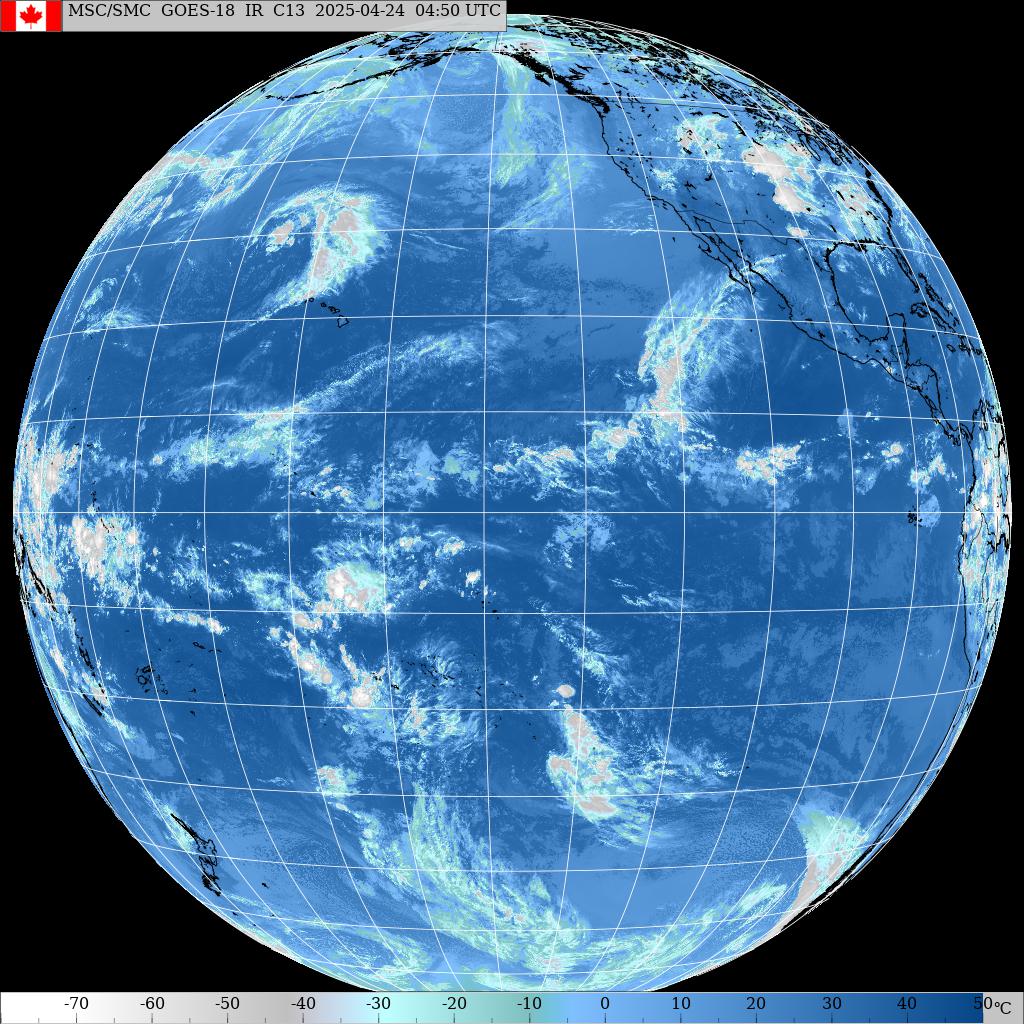
Where's the Samoa buoy?
Well it seems to be pretty much half way between the area where most south swells are originated for us (highlighted in yellow below) and Hawaii.
I haven't quite used this buoy much, but I'm guessing that it's going to take an average of 3-4 days (depending on the period, of course) for swells to get here.
We'll monitor it and compare the graphs when the south swell arrives at the Lanai buoy, so we'll also see how much size it lost. My guess is that is going to be a 2-3 feet.

Time to go surf!
Have fun in the sun everyone!
Have fun in the sun everyone!