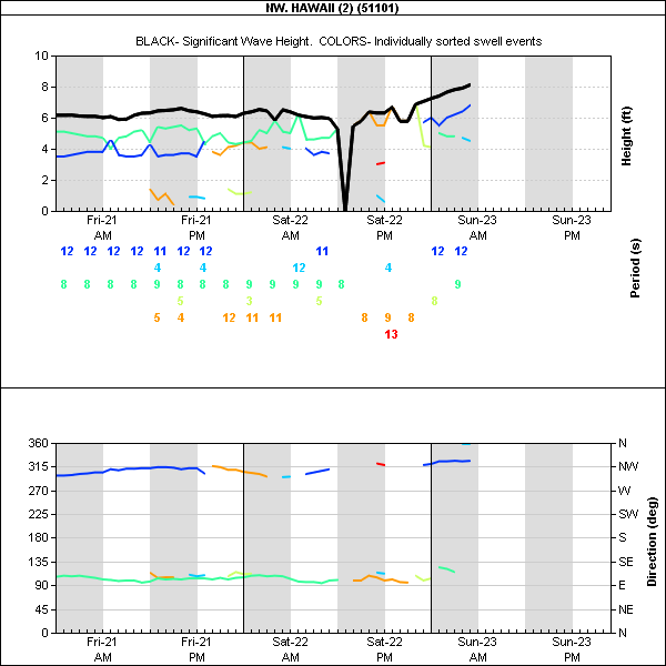
4am main swell buoy readings:
Waimea
6ft @ 13s from 332° (NNW)
Maui north shore
6ft @ 13s from 333° (NNW)
Still 6f 13s for a swell that has lasted pretty much all week is not a bad number.
It is one of my favorite sizes to surf Lanes btw, even though I don't think I'll be able to do that this morning.
I was hit by my board surfing it yesterday and my leg is still a bit sore. Should be ok this afternoon or tomorrow though when the swell will still be around, but with onshore winds :(
Yesterday Hookipa was totally epic, the best day of the winter so far, without a doubt.
Not gonna bug you with weather maps today, just a shot I took of Charlie Smith.

What you need to know about today is that the wind is still going to be light kona (which means still epic surfing on the north shore) all day. Whoo-hoo!
Enjoy it until it lasts, because tomorrow it goes light onshore and that will turn it into shit.
Trade winds back from a regular ENE direction back around Tuesday/Wednesday for the happiness of the windsurfers/kitesurfers that don't surf (guys, do something about it!). But don't get too excited. It's winter and it's not gonna last long.
The magic alternating of surfing and windsurfing conditions is one of the reasons I love Maui so much.
Have fun in the sun everyone!


