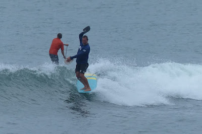
Dave Kalama at the harbor yesterday.
6am Surfline significant buoy readings and discussion.
South shore
Lanai
- 1.3ft, 18s, S 180º
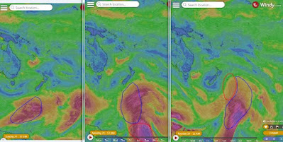
Long period southerly energy is at Lanai. This is coming from the angular spreading fetch in the maps of January 22 trhough 24 below.
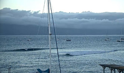
Check the Lahaina webcam if interested, for size, conditions and consistency.
North shore
NW001
- 12.1ft, 9s, NE 50º
- 2.8ft, 7s, ENE 65º
- 2.1ft, 4s, ENE 75º
Hanalei
- 5.7ft, 11s, N 350º
- 6.9ft, 9s, NNE 15º
Waimea
- 7.7ft, 10s, NNW 340º
Mokapu
- 5.8ft, 9s, NE 35º
- 2.7ft, 11s, N 355º
Mix of NNW to NE energies at the buoys, with periods between 9 to 11s, while the long period NW vanished. Home guess for Hookipa is particularly difficult without the Pauwela buoy in this case, probably around head to head and a half.
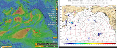
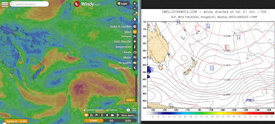
Fetches map (circles legend: red: direct aim, blue: angular spreading, black: blocked, yellow: possibly over the ice sheet) from Windy.
North Pacific (about 4 days travel time from the NW corner of the North Pacific):
South Pacific (about 7 days travel time from east/west of New Zealand):
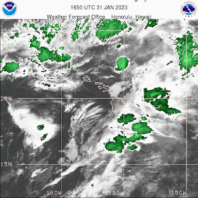
Morning sky.


