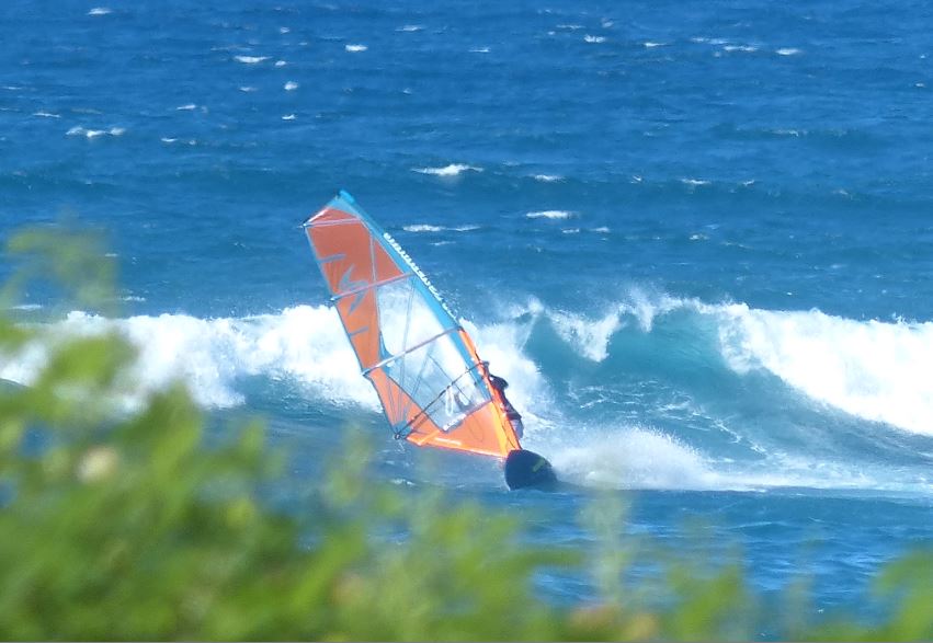
Hookipa yesterday.
5am Surfline significant buoy readings and discussion.
South shore
Lanai
- 2ft, 14s, S 190º
- 1.2ft, 11s, SSW 200º
Barbers
- 2.5ft, 14s, S 180º
Southerly energy is declining at the buoys, but should still provide fun size waves to ride. Check the Lahaina
webcam if interested, for size,
conditions and consistency.
North shore
Mokapu
- 6.5ft, 9s, NE 40º
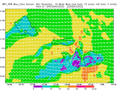
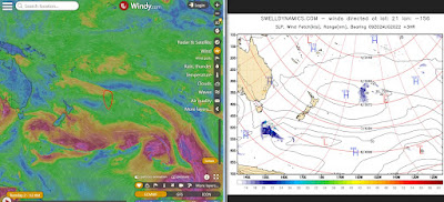
NE windswell is on the way up. Below are the maps of July 31 through August 2 that show a long fetch of relative light wind that made (and is still making) the energy that is shown by Mokapu. On top of that, starting tomorrow there should be also a bit of longer period easterly energy generated by tropical storm Frank (to the right of the maps) that Surfline generously predicts to peak on Thursday at 3ft 13s. I have a very low confidence about that. My experience is that those compact storms are only good for wave generation when they're much closer.

Home guess for Hookipa and eastern exposures is for belly to shoulder high, with possible head highers.
Wind map at noon. The other ones can be found here.
Fetches map (circles legend: red: direct aim, blue: angular spreading, black: blocked, yellow: possibly over the ice sheet) from Windy.
North Pacific (about 4 days travel time from the NW corner of the North Pacific):
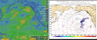
South Pacific (about 7 days travel time from east/west of New Zealand):
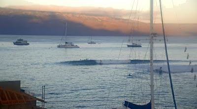
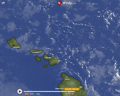
Morning sky.


No comments:
Post a Comment