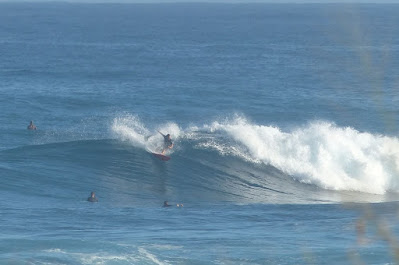
Hookipa yesterday morning before the onshores picked up.
North shore
NW101
- 4.6ft, 12s, N 355º
- 5.2ft, 9s, NNW 345º
- 2.6ft, 14s, NW 315º
Waimea
- 2.5ft, 13s, NW 325º
- 2.5ft, 9s, NNE 15º
- 1.1ft, 15s, NNW 330º
Pauwela
- 4.4ft, 10s, N 10º
- 1.8ft, 13s, NW 325º
Transition dat with moderate size waves before it gets big again. Mix of closely generated leftover N-NNE energy at 10s plus rising NW 13-15s energy coming from the fetch indicated in the maps below of January 12 and 13. Home guess for Hookipa is around head to head and a half high and no wind for the first half of the morning. The north Pacific is shaping up for lots of low latitude lows which will kill the trades for at least the next couple of weeks.
Wind map at noon. The other ones can be found here.
Fetches map (circles legend: red: direct aim, blue: angular spreading, black: blocked, yellow: possibly over the ice sheet) from Windy.
North Pacific (about 4 days travel time from the NW corner of the North Pacific):
South Pacific (about 7 days travel time from east/west of New Zealand):
Morning sky


No comments:
Post a Comment