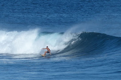
No photos from yesterday (three foiling sessions fogged my brain and I forgot), OneMoreFoto posted yet another shot (Torrey Meister) from that incredible swell at Maalaea last summer.

6am Surfline significant buoy readings and discussion.
South shore
Lanai
- 2.1ft, 13s, SSW 195º
- 1.3ft, 10s, W 270º
- 1.3ft, 6s, W 260º
Decent size SSW reading at Lanai, but there will be a southerly flow on top of it.
Check the Lahaina webcam if interested,
for size, conditions and consistency.
North shore
NW001
- 7.8ft, 8s, W 270º
- 3.4ft, 9s, NW 315º
- 2.7ft, 11s, NNW 340º
Mokapu
- 3.4ft, 12s, N 355º
- 1.9ft, 9s, N 350º
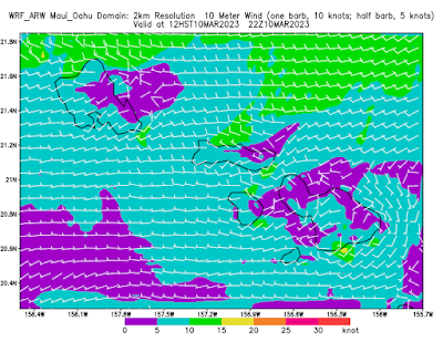
The XL NW swell of three days ago went down to 2.7ft 11s at the NW buoy and should continue its decline today. Home guess for Hookipa is around head high or more and very clean conditions thanks to the light Konas that are predicted to blow all day.

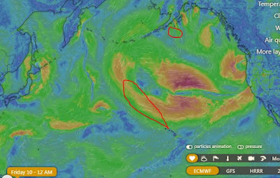
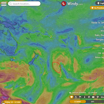
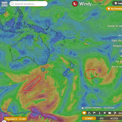
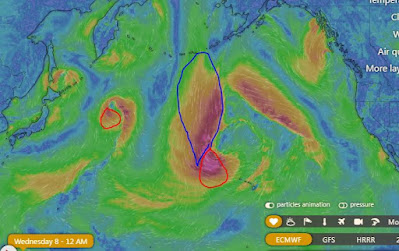
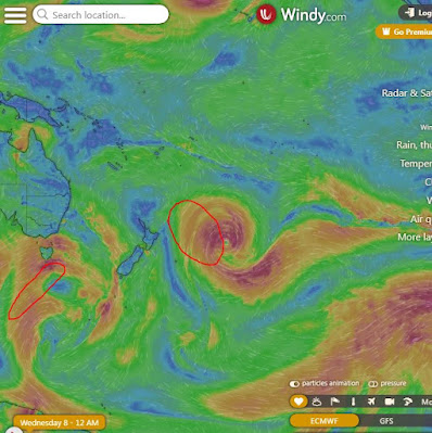
Fetches map (circles legend: red: direct aim, blue: angular spreading, black: blocked, yellow: possibly over the ice sheet) from Windy.
North Pacific (about 4 days travel time from the NW corner of the North Pacific):

South Pacific (about 7 days travel time from east/west of New Zealand):

Morning sky.


