Thursday, February 19, 2015

Sunrise was spectacular but, as the buoy shows, there's not much energy in the water. Better later, but mostly tomorrow.

2 19 15 morning call

Really small day yesterday. Still fun in the early morning with very clean conditions, not as fun for the rest of the day with some light trades on it.

No pics to report, let's jump straight into the buoys.
The NW one is showing the new WNW swell slowly picking up. Notice the westerly direction (278). I put arrows on the other two buoys to indicate the correspondent points in which the swell is going to pick up in Oahu and Maui, but notice how slow the rise is going to be, so I believe it's going to be small in Maui most of the day (for sure in the morning). The bulk of the swell will hit tomorrow really.
But we wonna be prepared and that's why I'm gonna do some swell direction talk later on this post.


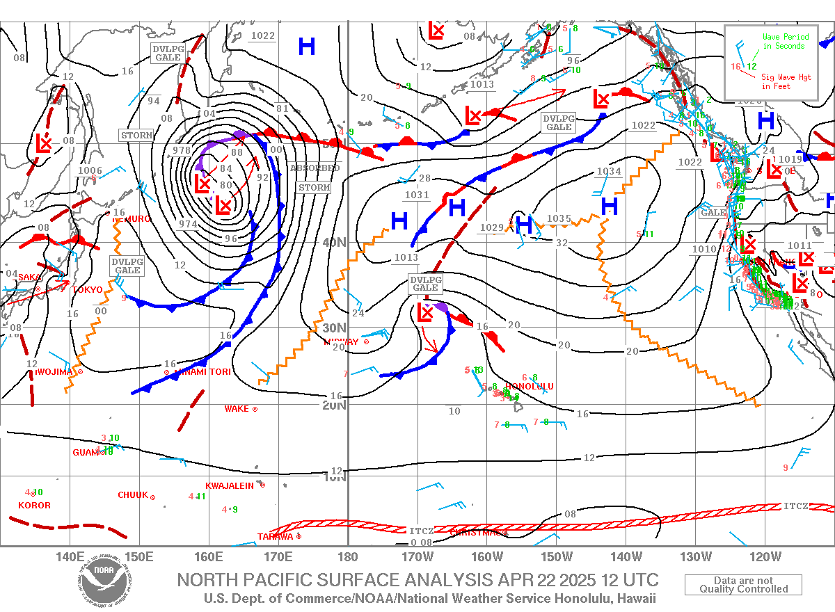
For the moment, let's look at the wind map. Couple of nice goodnight fetches to keep us going and lovely southerly flow that will make for great conditions all day on the north shore.


One of the Windguru models actually shows some relatively strong Konas throughout the day. I can only say that looking at the wind map above, I have strong doubts about that.


I never talk about tides, because I don't believe they make a huge change in the conditions (the do make some change, but not as relevant as other parts of the world), plus they can be easily checked (link 12) and don't really need to much to comment.
Today though, because of the new moon, there will be a bigger than usual swing. From 2.5f to 0 is the one that put two arrows on. If you're in the water at 7am, you should feel a stronger pull of the water going out than usual.
I also circled the lovely tide swing of sunday night, becaue that shape reminds me of something familiar... :)


Below is a map on which I traced the direction from the NW buoy to Maui. Let's say it's around 310.
So if a swell is coming from roughly that direction, we can be sure that the part of the swell that's hitting the NW buoy is roughly the same that will also hit Maui.
It will be different in size (because that goes down with travelling) and it might also be different in direction (because of the refraction around all the upstream islands), but at least we can count on the NW readings to predict the Maui readings.


But when, like in tomorrow's swell case, the swell comes from a west direction, the part of the swell that hits the NW buoy will have little to do with the part of the swell that will hit us.
I traced two arrows on the map below to indicate that. In other words, we won't have any indication of what's coming at us until the swell hits the Lanai buoy. There's no buoys out there in the middle of the ocean straight west of us.

In this other map below, I tried to draw an imaginary big west line approaching the islands. Let's forget about Kauai for a moment (just because it isn't in the map). The part of the swell that will travel south of Oahu, will not be refracted until it hits Molokai and Lanai. I didn't draw the effect of that refraction, for two reasons:
1) not enough room on the map
2) who the hell knows how it actually does that!

But what I wanted to point out is that actually there are a couple of narrow corridors that will allow the swell to hit Maui straight without much refraction. Those two parallel arrows ending on the upper West Side and in south Kihei indicate them.
And I said without much refraction, but there will still be some refraction off the south shore of Molokai and off both the norther and southern tips of Lanai.
Based on experience, the part of a west swell that reaches the upper west side straight is way smaller than the one that reaches the Kihei coast. That's because that corridor is more narrow, and the swell gets refracted more by the coastlines. The longer the period, the more that happens, so in theory a shorter period west swell has more chances to make it through that narrow corridor without being attracted and refracted by the south Molokai and north Lanai reefs.
Whatever travels south of Lanai instead, will only get refracted by the south tip of it and then travel relatively freely towards Kihei. Unless there's a bit of south in the direction (like in tomorrow's case) and then Kahoolawe might have something to say too.
It's really hard to predict the refractions, I'm just trying to describe roughly how it happens.

The angles I drew on the northwestern tips of Oahu and Molokai instead, show how much refraction a swell need to have in order to actually hit the north shore.


Lastly, a little map that shows the position of the Lanai and Pauwela buoy.
As you can see, everything more west of the usual 310ish does not hit the Pauwela buoy straight, but it's been refracted on Molokai (and before that on Oahu and before that on Kauai and before that on all the Northwestern Hawaiian Islands).
Instead, the Lanai buoy will get a much more direct hit.


That's all for today, do your homework and start making a plan for tomorrow. And be ready to finalize it and eventually change it with the morning's readings. Always decide where to surf in the morning, never the night before. You want to have the latest info.

Have fun in the sun everyone!


PS. All the sources for this post are permanently linked in the links section on the right of this blog.

PPS. I labeled this post into the "refraction" category, so that it will be easier to retrieve for future references.


Wednesday, February 18, 2015

As close to flat as it gets

2 18 15 morning call

Yesterday was a fairly small day. In the early morning there were some shoulder to head high ones, but then it got smaller throughout the day. Still clearly enough to rip for this guy. Photo Jimmie Hepp.


This morning it should be even smaller (longboard is in the car), with a small increase in the late afternoon.
Buoys: no readers' feedbacks about graphs vs numbers, I like the graphs a lot better (they tell you the trend AND the number, but you have to click on the photo to read them).
The arrow shows the slight increase on the NW buoy. I also underlined a couple of 18s and 14s very west readings on the Waimea buoy. No idea of how much of that we'll get, but I feel confident enough to say that at sunset it should be bigger than at dawn. Shouldn't take much really.
I just wonna add the Lanai buoy readings and point out a tiny but long period south swell:
 1.5ft @ 8s from 196° (SSW)           
1.5ft @ 11s from 236° (WSW)
0.7ft @ 18s from 201° (SSW)

I believe none of the above mentioned readings (waimea and lanai) would be visible on the NOAA page. I don't even feel like double checking.. I've done that enough times to know that the surfline way of analyzing the energy spectrum and separating the different components is much better than just one reading that sums up all the energies (that'll be the black line on the graph).


The weather map shows a high pressure ridge sitting right on top of Kauai and a couple of westerly lows.


Here's how they look in this graphical representation.


Now that usually means no wind (and it will be so in the morning), but the MC 2km 3pm map shows the possibility of sideoff sailing conditions (only at Hookipa though).


 The HRW model on Windguru, so it might be worth to practice your personal wind voodoo if you're a desperate windsurfer. My suggestion is to make waxing a surfboard one them.


Have fun in the sun everyone!

PS. All the sources for this post are permanently linked in the links section on the right of this blog.


Tuesday, February 17, 2015

Shoulder to head high

2 17 15 morning call

That's the kind of waves that Hookipa offered yesterday. Big and far from perfect, hence challenging, hence fun.


After a pretty poor SUP session at Kanaha earlier, I paddled out at Lanes.
The thing I liked the most was how freaking blue, sunny, calm and beautiful it was to be sitting out there pretty much by myself. This one came out with the focus on the wave in front, which I like because it gives you an idea of the wonderfulness of the colors and texture of the water.
I don't know, maybe I'm weird, but the actual riding of the wave is not necessarily the main thing for me.
Photos by Jimmie Hepp.


Today I'm not gonna do the buoy graphs composition. I got the feeling no one clicks on it to read the numbers and guess what... the numbers count!
So here's your numbers.

5am main swell buoy readings:

NW
3.7ft @ 10s from 319° (NW)
2.5ft @ 7s from 272° (W)
1.4ft @ 5s from 218° (SW)

Waimea
3.8ft @ 11s from 327° (NW)
0.7ft @ 4s from 17° (NNE)
0.2ft @ 20s from 295° (WNW)
0.1ft @ 2s from 233° (WSW)
 
West lanai Maui north shore (indicative of what's in the water on Maui's south shore)
2.3ft @ 12s from 246° (WSW)
1.8ft @ 8s from 239° (WSW)
0.5ft @ 20s from 200° (SSW)
 
Pauwela (indicative of what's in the water on Maui's north shore)
3.8ft @ 12s from 339° (NNW)
3.4ft @ 9s from 345° (NNW)
1.4ft @ 8s from 26° (NNE)

PLEASE, leave a comment and let me know if you like this way better or the graphs. You can always click on the link n.11 to check the graphs by yourself or if you get on this blog later in the day and want to have the updated numbers.
So everything went down to 4f 12s and seen the favorable wind conditions discussed below, I'm calling high crowd advisory at Hookipa. There's not that many people on the island, the line at the traffic light in Paia has been as short as it gets in the last week, but I'm sure that on the first friendly size after... can't even remember how long, two weeks at least, there will be choke people out.
   
The MC2km map at 8am shows ESE wind, great for surfing on the north shore.


The situation remains the same at 1pm, and that's as close as that wind line will get today. So another day of patience for the windsurfers. There will be action for you guys next week.

 
 Wind map looking good with a lovely westerly fetch that will make us sleep serene. Ahhh... I sleep so good in winter time!


Have fun in the sun everyone! And thanks for the donations I'm receiving!


PS. All the sources for this post are permanently linked in the links section on the right of this blog.

Monday, February 16, 2015

Hookipa was big and not too clean.
This is another empty lineup. Costco gas dawn patrol.

2 16 15 morning call

Yet another fantastic day of surfing yesterday. Other than the north shore, there were good waves pretty much everywhere.

During the search of my first spot I lucked out in a totally unexpected and pretty much never seen before wave, which I surfed for a couple of hours together with another guy. No idea if it has a name, I called it 75. Short for 75cm of offshore perfection. Perfect nose riding little right, the biggest sets (chest high) looked like somewhere in Indo.
Kona storm windswell with northerly wind? I know where to go next time it happens.

After that I went west to check the Bay and the Cove was totally firing at a solid DOH size.
Took a bunch of pics and then decided to paddle out.
The lineup was incredibly lined up (the surfers were sitting right along the line of the white water left by the big sets) and pretty crowded (30 guys). My only chance to catch a wave was to sit very deep and hope to get a narrow swinger.
So I did and on the paddle back out Michael Ho was on a beauty of a wave with the biggest smile on his face. Somehow that made me realize that I wasn't really supposed to be there in between so many good barrel rider and that every wave that I would have caught would have been a bit of a waste compared to how those guys would have rode it, and I went back in. I also wanted to go windsurfing.
Which I did.


The next couple of photos are interesting. The deepest guy looks so hopelessly deep that I wouldn't call a drop in on the other ones. The second drop in is questionable.


Who knows. Would the deeper guy have been able to make it and got burned or was he too deep anyway?
This is a difficult call everytime. I always give them the benefit of the doubt when it's not sure, but in  a crowded day at the bay, you're gonna get dropped in if you take off deep.
You're gonna get dropped in no matter where you take off, actually.
Ah, I wish there was the contest priority system also in the free surf...


What a section!


Two surfboards, a windsurf board and a small SUP. Today I used three boards out of four, but could have used a longboard at the first spot. Do I need a bigger car? Nah.
I do need to replace the wetsuit cardboard box though. It was working beautifully (the wet ones go in another plastic compartment) until I made the mistake of laying a wet sail on it...
It's all wetsuits in there. I have at least 8 different warmth ones.


back for the sunset


Today.


The buoys still show some healthy numbers, but the peak was yesterday pretty much where I predicted it to be in yesterday's post. Not too much to brag about here, this is really easy once the swell hits the NW buoy.
What I can't get my head around is that I surfed the bay at 12f 15s. I guess that doesn't mean much, how big it really is depends on the direction. But I'm giving myself a pat on the shoulder for that.
Lanai buoy reads 3.5ft @ 13s from 271° (W), there should be some action on the west facing shores too.


I surfed the bay DOH, but I'm still not ready for this wave, which I consider one of the heaviest in Maui. Who knows, maybe one day. Photo John Patao.


The wind looks good today. ESE early morning direction, great for pretty much everywhere.
Later on, the NON updated MC2km map calls for some sailable wind at Hookipa.


I would not get too excited about that, also because Windguru doesn't seem to particularly agree.


Westerly fetch and ESE wind. We can sleep serene again tonight.

Oh, they told me the donate button doesn't appear on mobile devices. Make your donations from home, if you feel like!
Have fun in the sun everyone!


PS. All the sources for this post are permanently linked in the links section on the right of this blog.

Sunday, February 15, 2015

The bay was epic today. It still is, but the shooting in the sun is not the best with my phone camera. Plenty shots in tomorrow's morning call on my blog.

2 15 15 morning call

Yesterday I said it was going to be one of the worse days of the year because of the strong Kona and I guess the complete lack of surfers at Hookipa confirmed that: just way too windy.

Of course, some windsurfers like strong wind, so they were out there and they were riding Middles. Smaller waves and even stronger wind at Lanes, no surfers at Middles... why not?
I've never done that, so I went out too. I lasted 5 waves, a couple of which, the ones without a crazy gust on them, were actually quite fun. I surfed Middles like a thousand times, it was fun riding it for once at a different speed.

Just to try to describe how strong the wind was, let me mention that every time I stuck a tack on the outside, I was in disbelief! And there was one time, in which I judged too dangerous to even try a tack (or I decided I stood no chances) and, like the good old days, I shamelessly dropped the sail in the water on the opposite side and water started on the new tack.
I sailed 20 minutes, it felt like 2 hours on my arms. 40 knots is my guess in the strongest gusts.

I took one quick shot before leaving and it happened to be Josh Stone who instead, because of his enormously better skills, didn't seem to mind the wind too much. He's the right guy to rig next to.
At one moment I see a super strong gust that pulverizes the lip of the waves of a set.
I point it out to him and say:"Oh my god, Josh! Look at that!" with my face expressing fear and a bit of disgust, and he replies:"that's awesome!". He was frothing.


Everything will be different today, because the front has passed and the wind has changed direction. Note the westerly fetch that will be the main waves provider for next week.


The wind should be light onshore all day on the north shore, even though MC2km calls for a more easterly direction for the second part of the day. I don't particularly believe that, and nonetheless it won't be enough for sailing. If you want to windsurf, check Kihei, which saw some port tack action yesterday too.


Last, but most definitely not least, let's look at the buoys. Below are the graphs of the NW and the Waimea buoys. I pointed out the super steep climb on the first. It went from 2 to 19 (and 16s) in 6 hours. I put the same arrows on where I think it's gonna happen in Oahu.
Note: that steep climb of the long period component would have not been possible to detect on the NOAA buoy. The first 16s reading there is at 1am when it's already 20f. And how and when did it become 20f?!?!?
Trust me on this guys. The break down in subcomponent swells that Surfline does is 100 times better.


Below is Pauwela and Lanai. The two arrows on the first one is where I think the steep climb from the NW is going to happen. The arrow and dotted red line on the Lanai one, shows instead the rapid decline of the windswell associated with the strong Kona, which died just before sunset yesterday. Too bad it's already kind of small, it would have been fun to surf it without the active wind on it. 
Kiehi residents, get on it before it's gone!
The north shore still has quite a bit of NW energy in it (6.0ft @ 11s from 325° at the 6am reading), but expect it to be very unclean.


Not an easy day to choose where to surf. I still haven't made my call. One of those days in which I need to check spots and webcams...
Have fun in the sun everyone!


PS. All the sources for this post are permanently linked in the links section on the right of this blog.