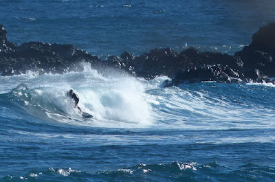
Hookipa yesterday morning.
4-5am Surfline
significant buoy readings and discussion.
South shore
Barbers
1.7ft @ 13s from 184° (S)
Southerly energy at Barbers persists. Check the Lahaina
webcam if interested, for size, conditions and consistency.

North shore
Hanalei
2.6ft @ 9s from 5° (N)
Waimea
2.2ft @ 9s from 351° (N)
Kaneohe Bay
4.6ft @ 6s from 55° (ENE)
Small 9s northerly energy and 6s windswell should give Hookipa waves in the chest high range.
There should be a bump in the afternoon (you can see it in the PACIOOS forecast below). Here's Pat Caldwell description of the fetch evolution:
A weak, low-pressure system (1000 mb) tracked east along 45N from the Date Line 9/24 with near gales aimed highest NE of Hawaii. As it moved east of the Hawaii longitude 9/25 (~160W), it intensified with more north to south aim, but too late for Hawaii surf fortune. A short-lived, below-average event is due Tuesday morning from 325-340 degrees, peaking late Tuesday, and dropping to seasonal dregs on Wednesday from 330-360 degrees.
Below are the maps of Sept 24 through 26 that will help follow.

Forecast of Pauwela from this PACIOOS page.

Wind map at noon. The other ones can be found here (click on animation of the 10 meter column).

Fetches map (circles legend: red: direct aim, blue: angular spreading, black: blocked, yellow: possibly over the ice sheet) from Windy.
North Pacific (about 4 days travel time from the NW corner of the North Pacific):

South Pacific (about 7 days travel time from east/west of New Zealand):

Morning sky.


No comments:
Post a Comment