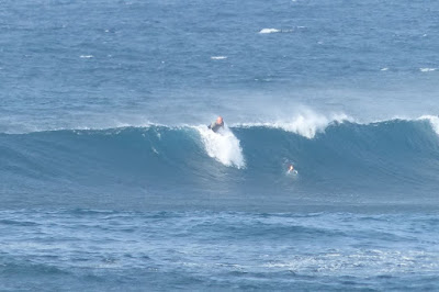
Hookipa yesterday afternoon.
South shore
Barbers
- 1.1ft, 13s, SSW 195º
- 0.9ft, 9s, NW 320º
Lanai
- 1.5ft, 13s, SSW 195º
South swell continues now down to 13s.
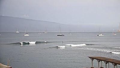
Check the Lahaina webcam if interested,
for size, conditions and consistency.
North shore
Mokapu
- 6.9ft, 9s, ENE 65º
- 3.1ft, 6s, E 80º
As a consequence of a strong upstream fetch located from just east of the island and extending half way towards California, the easterly windswell went up to 9ft 9s at Mokapu yesterday and I saw double overhead sets on eastern exposures. A little smaller today, but still solid. There should/could be also some small NW energy underneath, but the NW buoys are too exposed to the elements to record it and the lack of local buoys open to that direction makes it virtually impossible to know if it's here or not. The only sign we have is that foot 9s at Barbers.
Below are the maps of March 19 through 21 that show the fetch that generated it.
Based on the Mokapu reading, my home guess for Hookipa is around head to occasionally head and half of easterly peaky waves and no wind. Bigger on easterly exposures.
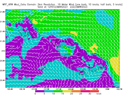
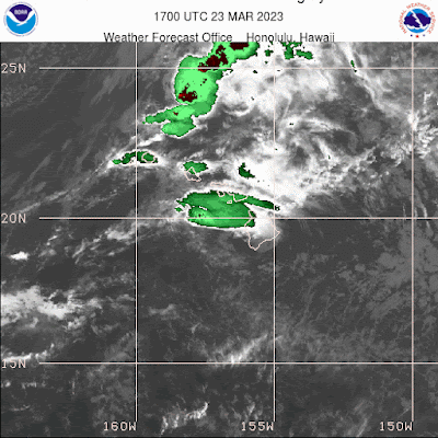
Wind map at noon. The other ones can be found here.
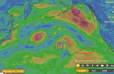
Fetches map (circles legend: red: direct aim, blue: angular spreading, black: blocked, yellow: possibly over the ice sheet) from Windy.
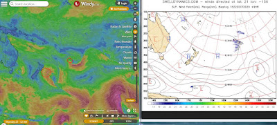
North Pacific (about 4 days travel time from the NW corner of the North Pacific):
South Pacific (about 7 days travel time from east/west of New Zealand):
Morning sky.



No comments:
Post a Comment