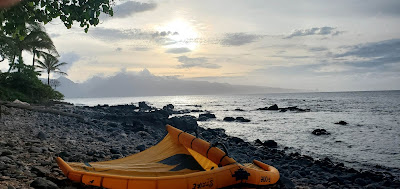
I didn't take any action photo yesterday, this is after my afternoon wing session up the coast.
4am Surfline significant buoy readings and discussion.
South shore
Barbers
- 4.4ft, 7s, SSE 160º
- 1.4ft, 14s, S 185º
- 1.5ft, 12s, S 175º
Lanai
- 3.4ft, 7s, S 180º
- 1.4ft, 14s, SSW 195º
- 1.1ft, 11s, SSW 200º
Couple of small south swells at the buoys (we looked at the fetches yesterday) together with some southerly windswell. Check the Lahaina webcam if interested, for size, conditions and consistency.
North shore
NW001
- 3.7ft, 10s, E 95º
- 2.4ft, 15s, NNW 345º
- 1.8ft, 11s, SE 130º
Mokapu
- 4.3ft, 10s, E 90º
- 2.6ft, 7s, ESE 110º
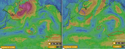
NW buoy shows a new small long period NW swell. Below are the maps of March 25 and 26 that show the small and distant fetch that generated it.
The Surfline forecast (which, in lack of the local buoys, has become the most important tool in trying to guess what's in the water) calls for very little in the morning (0.6ft 16s at 6am), 1.4ft 15s at sunset and a couple of feet 13s tomorrow.
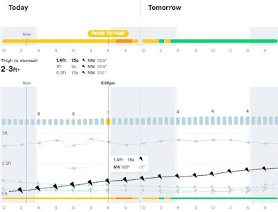
Based on that and on the fact that easterly windswell at Mokapu is now coming from 90 degrees, home guess for Hookipa is flat to occasionally waist high, slowly increasing throughout the day up to possible chest to shoulder high sets at sunset.
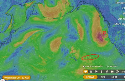
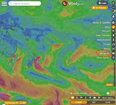
Wind map at noon. The other ones can be found here.

Fetches map (circles legend: red: direct aim, blue: angular spreading, black: blocked, yellow: possibly over the ice sheet) from Windy.
North Pacific (about 4 days travel time from the NW corner of the North Pacific):
South Pacific (about 7 days travel time from east/west of New Zealand):
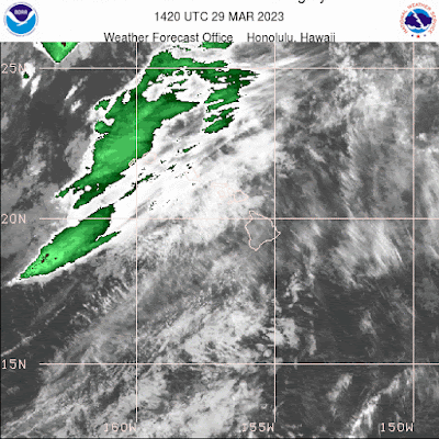
Morning sky.


No comments:
Post a Comment